

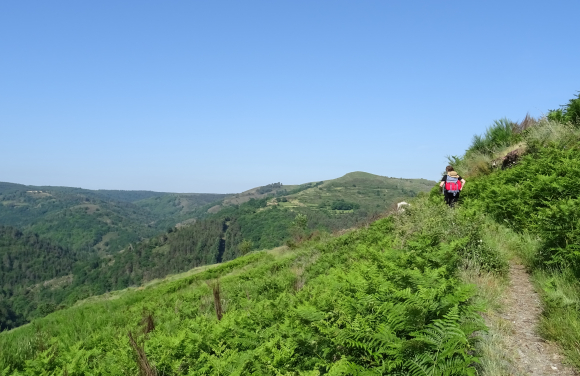
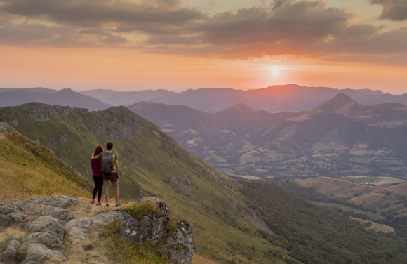
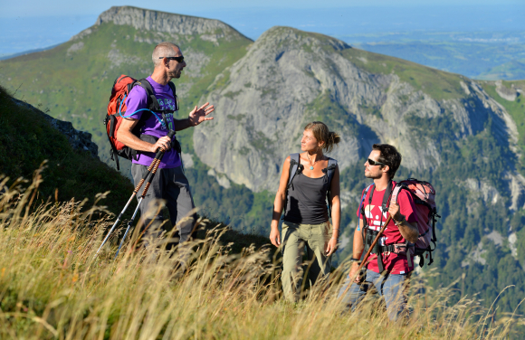
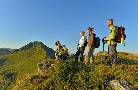
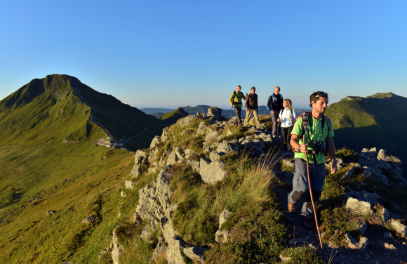
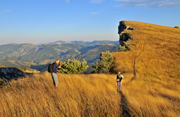
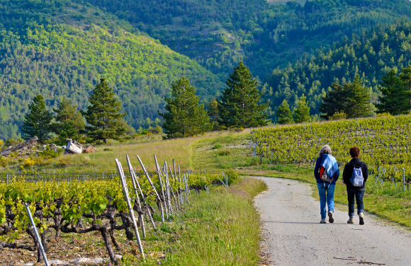
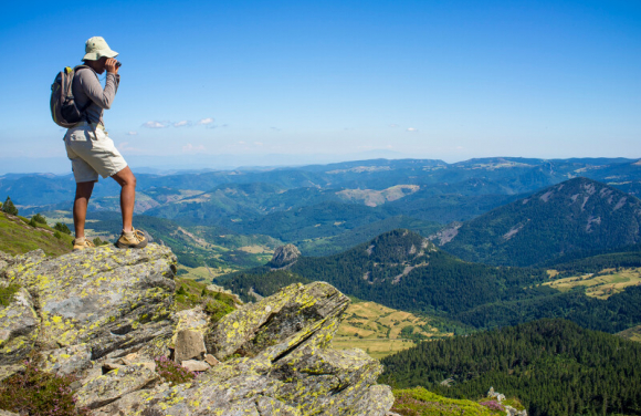
Hiking
In Auvergne-Rhône-Alpes, 31,000 km of marked and maintained trails including 16,000 in GR® crisscross the territory in all directions! From the highest alpine peaks to the volcanic lands of Auvergne, they cross the valleys and the massifs of Vercors, Bauges, Aravis or Cantal.
The region is essentially a destination for treks and itineraries. The great mythical routes such as the Tour du Mont-Blanc, the paths of Saint-Jacques de Compostelle or the path of the Huguenots are all a source of escape and change of scenery to discover the region differently.
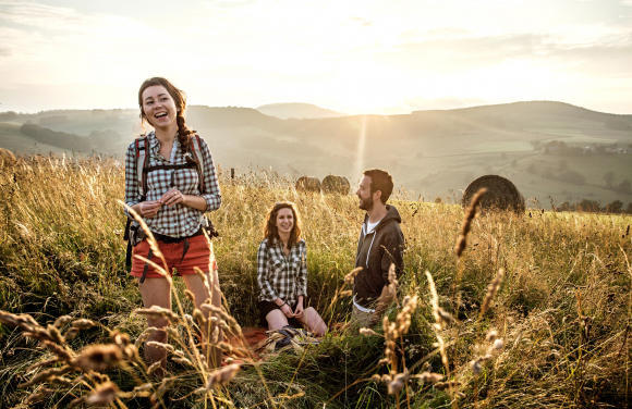
Day trips, trips lasting several weeks, sporting hikes or relaxing walks, each adventure is a new way of exploring the natural, human and heritage resources of the region.
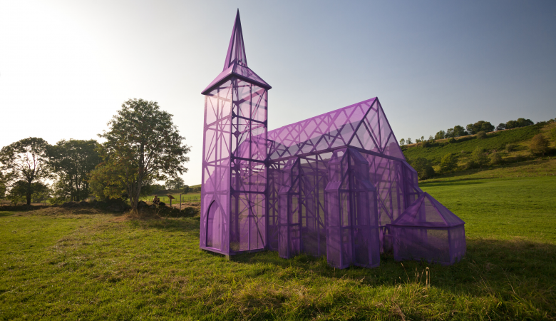
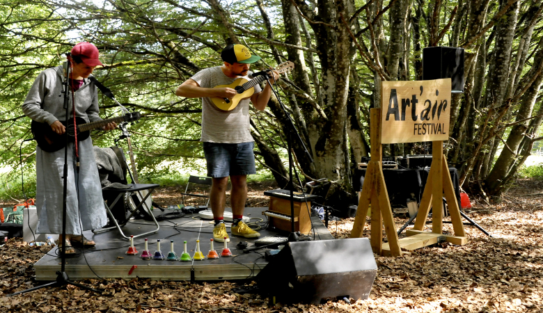
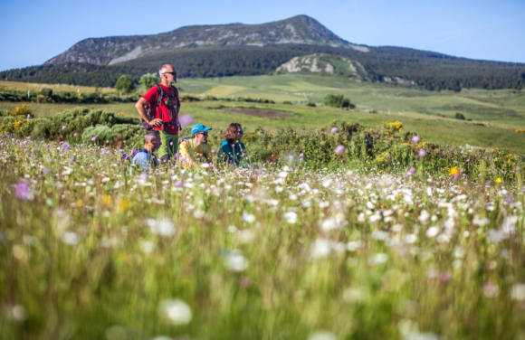
Major events
Key people
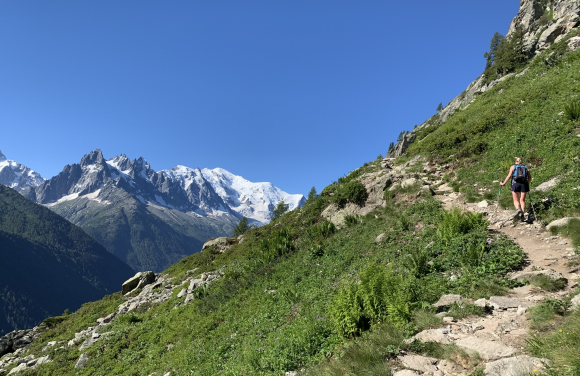
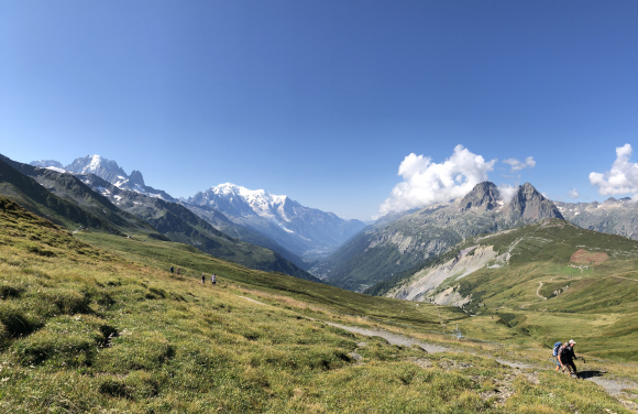
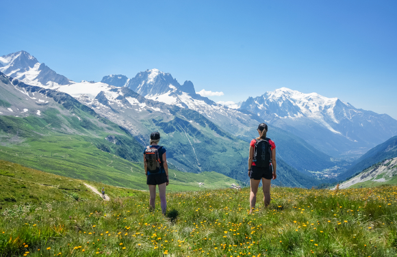
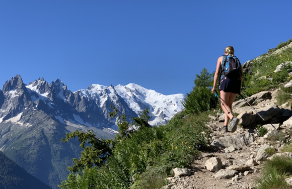
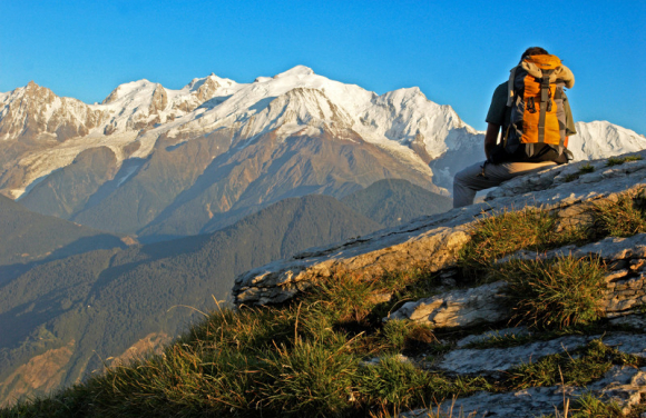
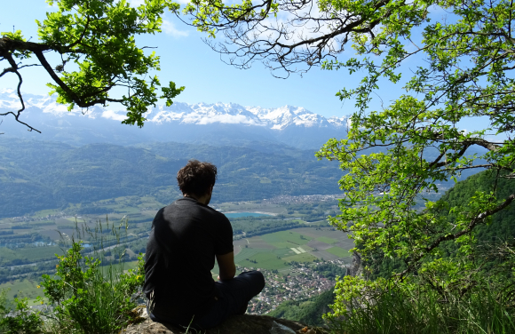
The Tour du Mont-Blanc, a unique experience
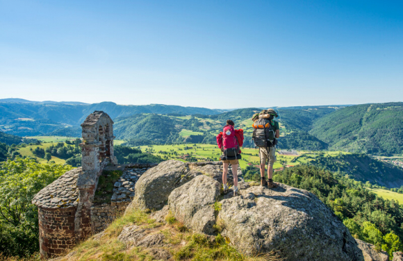
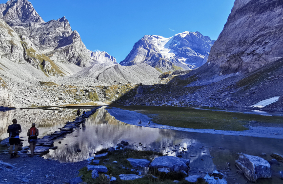
The Tour du Mont-Blanc is one of the most legendary long-distance hikes in France! Venturing on the paths of this legendary massif is the dream of all avid trekkers. Departing from Les Houches, near Chamonix, the route bypasses the highest peaks of the Alps, creating a loop through Italy and Switzerland. It is a succession of grandiose landscapes, meadows and ice, a permanent wonder.
Crossing the Voza, Bonhomme or Seigne passes, breathtaking views of the glaciers, Lac Blanc, Mer de Glace, Grandes Jorasses and Mont-Blanc: 170 km, 10,000 m of vertical drop and 7 to 10 days of walking! A great challenge which satisfies the greatest mountain desires.
This hike can be organized according to needs and desires. Several combinations are available to walkers. Some variants use ski lifts to shorten the route.
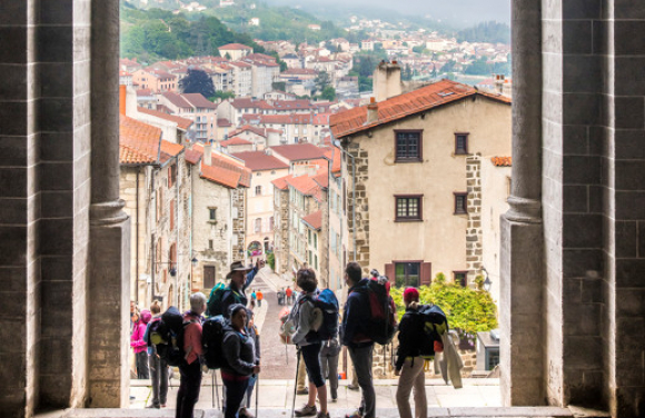
The paths to Santiago de Compostela, a cultural heritage
All over Europe, many hiking trails follow the pilgrimage routes of Saint Jacques de Compostela traced in the Middle Ages. The 3 main axes from Geneva, Lyon or Cluny converge in Puy-en-Velay to form a single route to Conques.
Prized for the beauty of its landscapes and the richness of its religious heritage, the Chemin de Cluny crosses the Beaujolais and Forez mountains, crosses the vineyards of the Roannaises coast before reaching Puy-en-Velay via the Loire gorges. From there, the journey continues on Via Podiensis.
The Puy route was the first route marked out by the French Hiking Federation to become the GR®65, the most popular route! This route brings together the most beautiful stages of the pilgrimage. Four territories follow one another, each as rich as the next, both for their flora, their fauna and their geological specificities. Walkers thus discover the volcanic lands of Velay, the granite plateau of Margeride with a striking view of the Allier gorges, the wild spaces of Aubrac and the Lot valley.
Combining history, spirituality, heritage and nature, all the paths constitute a unique cultural asset. As such, sections and monuments are listed as World Heritage by Unesco. The ways of Saint-Jacques benefit from a structured network offer which provides essential support for the organization of these itineraries. Signposted routes, topos guides, accommodation, catering, luggage transfers, visits ...

In the footsteps of the Huguenots, a Cultural Route of the Council of Europe
The journey of exile of the Huguenots in the 17th century is the theme shared by all the paths which constitute a long route from France to Switzerland and Germany. To walk these roads is to retrace a part of European history, it is to cross the old bastions of Protestantism and to discover a sometimes unknown heritage, it is to walk in the middle of nature from the Drôme Provençale towards the alpine landscapes.
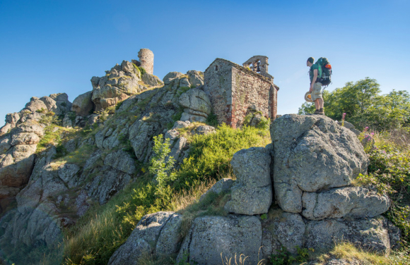
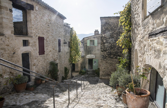
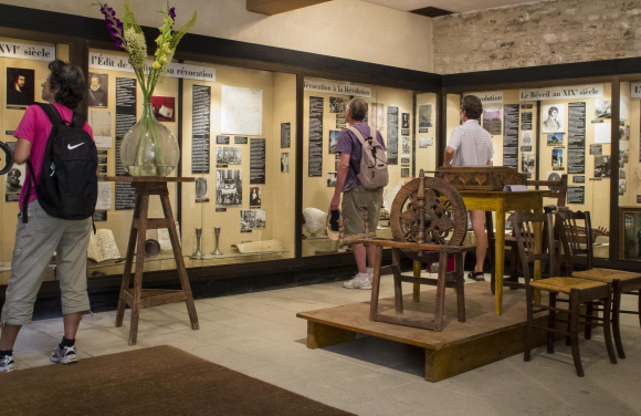
Dotted with 29 stages, the 374 km of the French section is part of the GR®965 route, crossing the Vercors and Chartreuse massifs, the towns of Grenoble, Chambéry and Aix-les-Bains near Lac du Bourget. The former temple of Poët-Laval, a small village in Drôme, 30 minutes from the N7 and the Rhône Valley, now houses the Musée du Protestantisme Dauphinois. Witness of the Huguenot past, this charming medieval city, classified among the Most Beautiful Villages of France, naturally marks the starting point of this long pedestrian path.
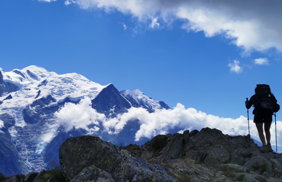
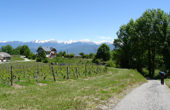
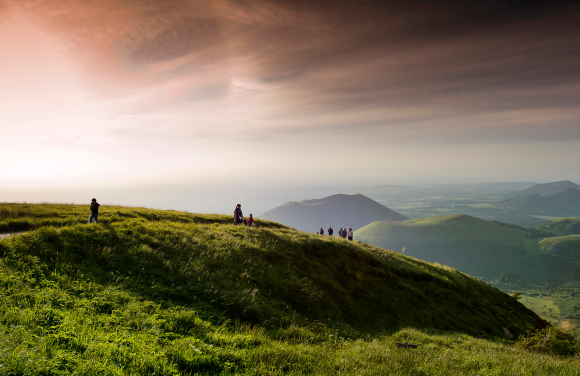
The Great Crossing of the Alps - Pleasures of roaming
With 620 km of hiking from Lake Geneva to the Mediterranean, the GR®5 lends itself to the most beautiful itineraries. The full course has 30,000 m of elevation gain and 36 stages! It leaves from Saint-Gingolph on the south shore of Lake Geneva and leads the most seasoned hikers to Nice. But many variations multiply the possibilities.
Each time an exceptional hike guarantees a total change of scenery. The pace of walking adjusted to individual steps, the proximity to nature, the immense diversity of the landscapes, from the large alpine spaces to the beaches of the Côte-d'Azur, provide a feeling of immensity and freedom. The walk evolves in preserved environments crossing many massifs: Chablais, Mont-Blanc, Beaufortain, Vanoise…Throughout the days, panoramas, summits, mountain pastures, old stones and hilltop villages follow one another. The richness of the flora and fauna is a permanent spectacle!
Whatever the formula chosen, independently or with a specialized agency, covered in its entirety or not, this crossing is an intense experience, each section a micro-adventure.
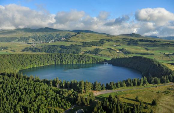
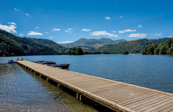
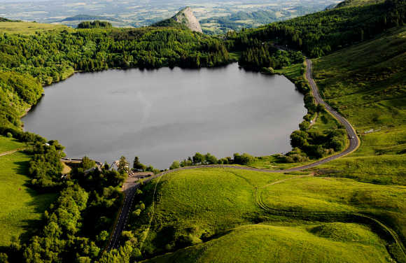
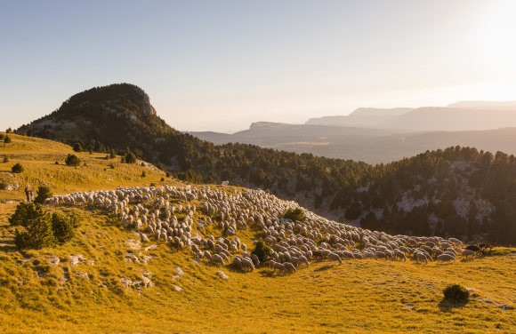
GR®30 -The Tour of the Lakes of Auvergne
Shaped by volcanic activity, the numerous lakes of Auvergne are part of the landscape identity of the territory. 198 km route, the GR®30 travels through Mont-Dore, the Chaîne des Puys and the Cézallier, revealing the diversity of these magnificent expanses of water.
The 9 days of walking are punctuated by the discovery of admirable sites: volcanic dam lakes such as Lake Chambon, fitted out for swimming and water sports or Lake Aydat, the largest natural lake in Auvergne; but also lakes of glacial origin such as Lac du Guéry, the highest lake in Auvergne, or crater lakes (the maars) such as Servières or Pavin.
In addition to the quality and originality of the natural environment, one of the attractions of this loop starting from La Bourboule is its heritage interest with in particular, the castle of Murol and the church of Orcival, masterpiece of the Roman art. In the land of Saint-Nectaire, the local cheese, Truffade and Potée, this route also allows you to discover the gastronomic richness of the region.
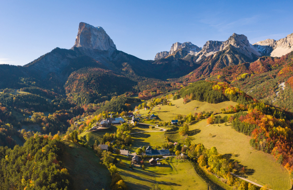
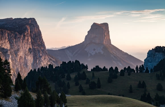
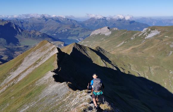
The Grand Tour of Vercors
The Vercors is this imposing limestone massif of the pre-Alps which rises between Grenoble and Valence. Point of contact between the Alps and Provence, this territory sculpted by reliefs shelters both mountain edelweiss and Mediterranean species… An atypical setting popular with hikers all year round. Recognized for the richness of its biodiversity, its wild fauna and its landscape characteristics, the massif is classified as a Regional Natural Park.
The Grand Tour du Vercors (GTV) draws a loop of 23 days of walking and more than 350 km, within this vast protected area. The route presents an astonishing diversity of landscapes between cliffs, Hauts-Plateaux nature reserve and steep gorges cut into the rock. Without forgetting the exceptional panorama on the Grand Veymont, the highest point of the massif (2341 m) and the mythical Mont Aiguille.
Departing from the small village of Saint-Nizier-du-Moucherotte, to the north-east of the park, this route is a gentle immersion in the natural environment of the Vercors, but also in its history and that of the men and women who live there. have tamed.
GR®400, Tour of the Cantal volcano
Signposted over 140 km, the GR®400 is an emblematic route that allows you to hike in the heart of the largest volcano in Europe ... Formed over eruptions millions of years ago, this stratovolcano presents an original relief with a mountainous part in the center which culminates at 1855 m (Plomb du Cantal) and the plateaus and valleys on the outskirts. A striking setting in a mid-mountain context, sometimes marked by significant height differences. An ideal destination for a sporting, relaxing or contemplative walk.
The particularity of this long-distance hiking trail is its organization into 8 successive loops. It allows you to radiate for 8 days in the perimeter of the volcano which extends over 2700 km² and 70 km in diameter. Departing from the medieval city of Murat, a succession of rural towns, pastures and "burons", very local stone constructions, evoke the pastoral past of Cantal. From May to November the landscapes change, all marked by a long geological and human history.
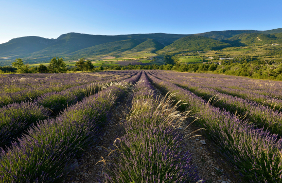
GRP - Tour of the Provencal Baronnies
Away from the main roads, the Provencal Baronnies constitute a territory of transition between the pre-Alps and Provence. Here the austerity of the reliefs mingles with the light and the scents of the south. A mosaic of landscapes between rocks, holm oaks, olive trees and lavender forges the specific character of the massif.
The Grande Randonnée de Pays trail guides walkers in the heart of this rural and authentic territory. 9-day roaming or 3 to 4-day getaway from Buis-les-Baronnies, the route forms a loop along which follow one another in nature baths and picturesque villages, such as Poët-en-Percip, Rémuzat, Villeperdrix...
The Massif Central via the GR®7
The GR®7 is a 1500 km long diagonal that crosses France from Alsace to the Pyrenees. Halfway through it opens onto unspoiled nature, the typical and wild landscapes of the Massif Central and its parks. These areas are true paradises for hikers and for trail runners who can take the routes promoted by the Regional Natural Parks of Pilat and Monts d'Ardèche.
A 3-day route takes you from the vineyards of the Rhône Valley to the Crêts du Pilat. Another takes place over 4 days between ridges and valleys in the heart of the sources and volcanoes of Ardèche. It follows the watershed dividing line materialized by a succession of works of art integrated in nature.
There are many variations available to athletes who can take long strides to admire ever different panoramas and horizons.
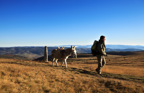
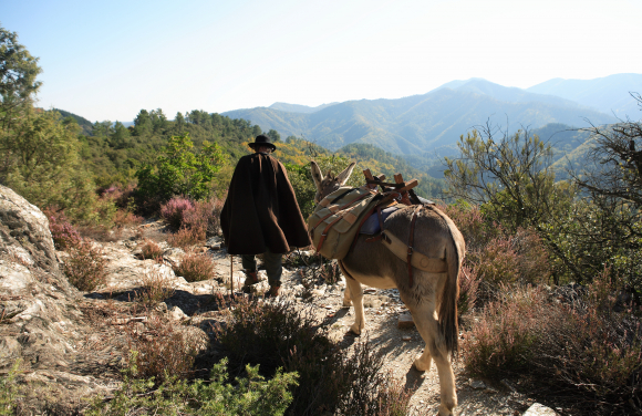
GR®70- The Stevenson Trail
The GR®70 reconstruct the route taken by RL Stevenson in 1878. Accompanied by his donkey Modestine, the Scottish writer had undertaken a long 12-day walk to get from Puy-en-Velay to Alès. True praise of travel, his story describes the bond with nature, the joys of roaming and encounters. This is what it is still possible to experience today on this historic path.
More than 140 years later, the 4 territories crossed have retained their authenticity, character and heritage. The soft volcanic reliefs of Velay, the forests, pastures and marshes of Gévaudan, Mont-Lozère and the Cévennes, constantly renew the horizon.
Well marked and maintained this famous route suggests more stages than the great initial epic extending the route over 250 km. A gentle adventure for solitary walkers or families, with or without a donkey, to the rhythm of steps or hooves.