
Description
CARTE IGN 3335 ET and 3435ET : on sale at "Lolita Boutique".
HIKING GUIDE BOOKS : 5 € on sale at the Tourist Office or by mail (download your order).
CARTOGUIDE : 7€ on sale at the Tourist Office.
PACK : TOPO GUIDE + CARTOGUIDE : 10€
On sale at the Tourist Office.
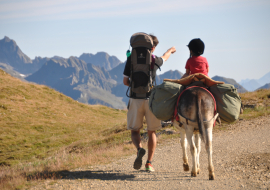
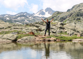
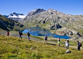
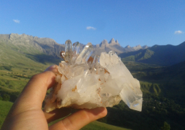
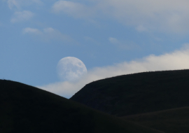
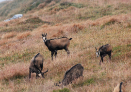
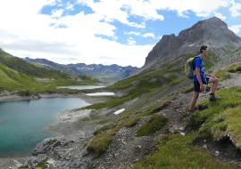
With the many lakes and many landscapes St Sorlin has a beautiful environment and many hiking trails. Below walks and hikes possible around St Sorlin :
La vallée des Prés Plans
Easy out-and-back walk giving access to the old village of Les Prés Plans with a chapel dating from 1630 and a number of farms. Lengh: 1h30 return
Start: hotel-restaurant Le Gros Caillou (D5 on village map) follow signs for « Vieux Village des Prés Plans » way marking.
Accesible for handicapped persons.
Le tour des petits lacs d'altitude (Potron et Guichard)
Easy walk around the small high lakes. Panoramic area giving views over the Arvan Valley. Lengh : 1h - Start: Col de la Croix de Fer track passing under the stele.
Ideal picnic place.
Lac Laitelet
Recommended spot to stop and enjoy the view. Very easy access along the road.
Access : RD 926, 1 km below the Col de la Croix de Fer.
Ideal picnic place.
Opening
From 01/05 to 30/11.
Depends on the snow.
Ask the Tourist Office for more information.
Additional info
- Services :Pets welcome
- Payment :CheckBank/credit cardCash
Prices
Hinking trails : open access
Hiking guide for sale at the Tourist Office : 5€
Cartoguide : 7€
Pack of hiking guides and maps of the Massif Arvan Villard: 10€.