Description
D1 • Saint Jean de Sixt
An authentic village of the Aravis. Accommodation at the 3 * hotel le Beau Site, particularly quiet and with a beautiful view. You can also enjoy the swimming pool or go for a walk in the village. You can take the opportunity to visit the “Milk et bouses” farm.
D2 • Saint Jean de Sixt - Les Confins
1st day gently, up to the Confins plateau. 2 options:
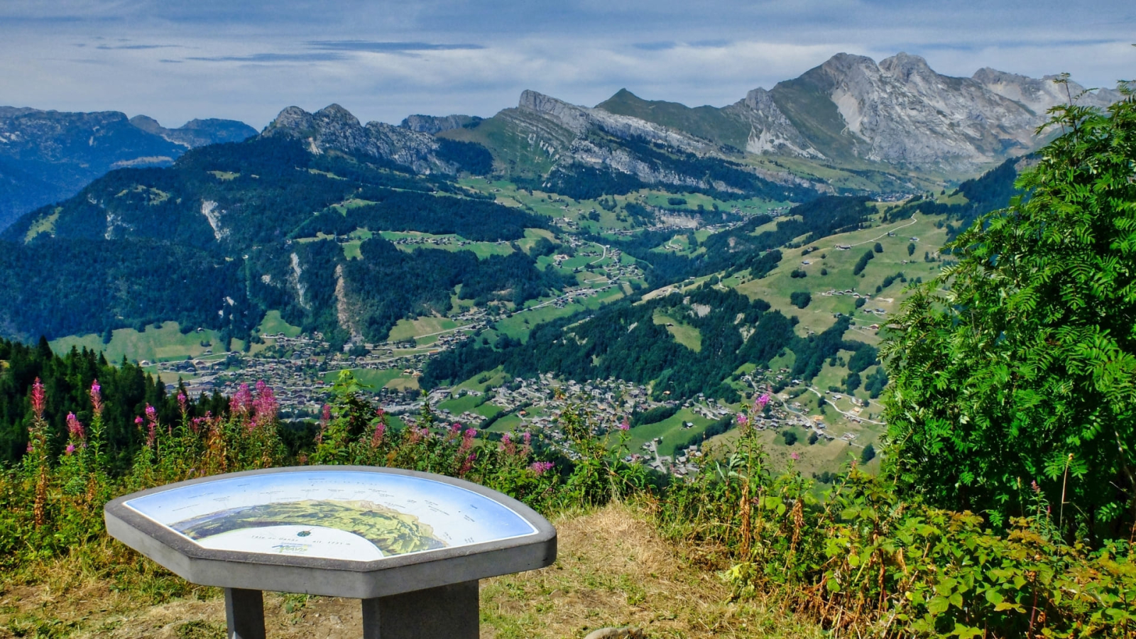
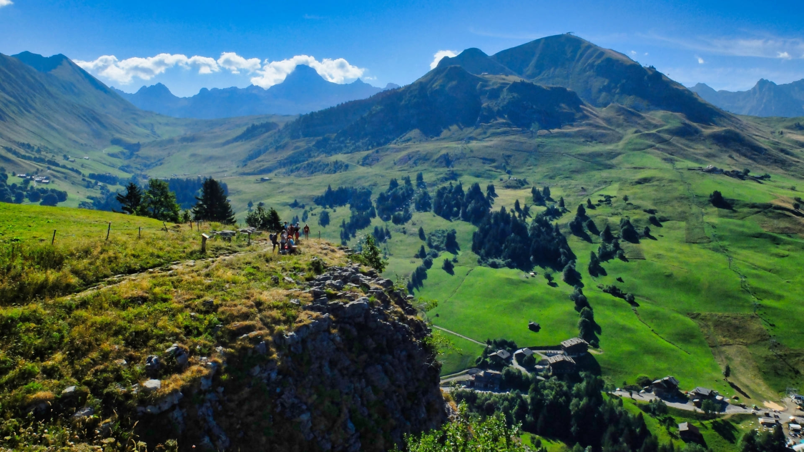
1 / via the Mouilles de la Perrière and the Tête du Danay (1731m) with a beautiful panorama over the Aravis range to the east and over Mont Lachat de Chatillon and the Bouchet valley. 4h00 walk, 9km, + 750m, -350m
2 / a longer version via the Pointe de Beauregard and the combe of the Col des Aravis.
6h00 to 6h30 walk, 21km, + 1220m, - 830m.
D3 • Les Confins - Le Chinaillon
Via the Col des Annes (1721m), passing at the foot of the mythical summit of the Aravis: the Pointe Percée (2750m).
The large Alpine pastures of the Confins plateau, then we switch to the top of the Bouchet valley in the beautiful cirque, under the point Percée (2750m) and the point of Roulletaz (2077m). The path goes around a few sections of the mountain to cross the easy Col de Borneronde, then the Col des Annes (1721m). Picnic possible at the Col des Annes gîte.
Then descend to the hamlet of Chinaillon under the peaks of Pointes d'Almet, Grande Combe and Pointe de Deux Heures.
6h00 walk, 15km, + 800m, -850m (short option 5h15 walk, 14.5km, + 600m, -650m).
Night in a *** hotel.
D4 • Chinaillon - Grand Bornand
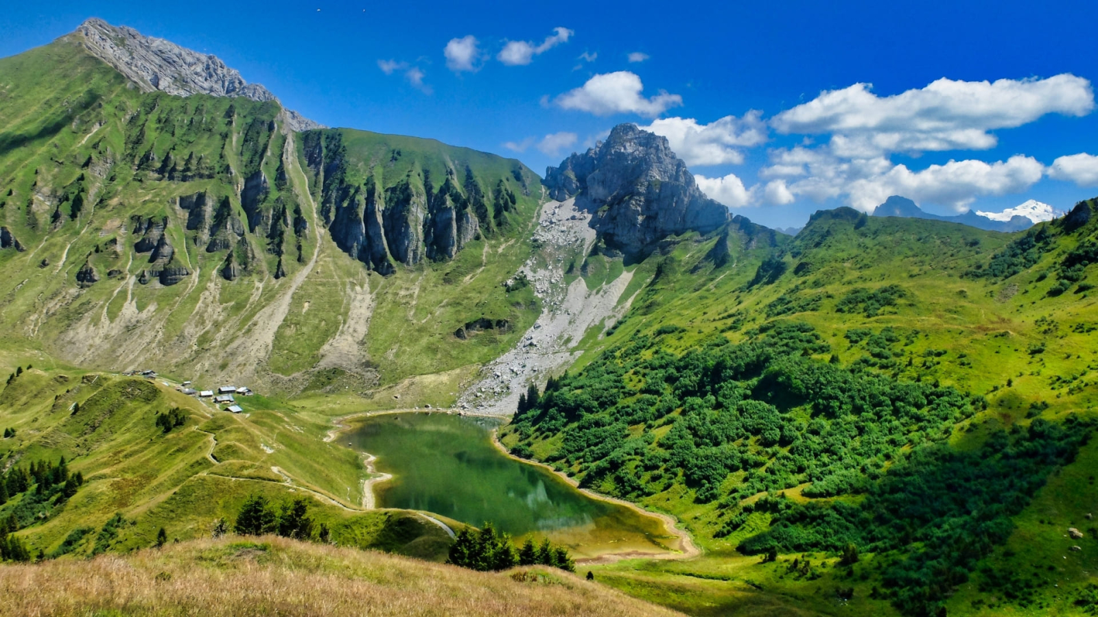
Ascent by the crest of the Aiguille verte (2000m) and the lake of Lessy. From the Aiguille verte the view is splendid on the summit of Aravis (the Pointe Percée) and the somital ridge of Mont Blanc, then you will cross the Col de la Forclaz and descend to the hamlet of Mayse (sheepfold and stopover lodge, drinks, snacks). You then have to go up the Col du Planay between the Roc des Tours and the Roc des Charmieux and then descend to join the route which will gradually lead you to Les Mouilles, La Tannaz and the village of Grand Bornand.
About 6.45 hours of walking, 18km, + 1070m (without technical difficulty), -1450m. Picnic possible at the gîte des chalets de Mayse (refreshment bar).
Shorter hike possible this day 4 to 5 hours of walking, + 470m, -650m:
ascent by the discovery trail of the Alpages de Samance and descent to the old listed village of Chinaillon, la Bouvardière.
Then you will climb quietly under the Roc de Charmieux to climb up to the Tannaz mountain pasture via Les Mouilles. Then descend along the rocks of La Forclaz to the village of Grand Bornand
D5 • Grand Bornand - Thônes
2 routes to reach Thônes:
1 / You will reach St Jean de Sixt via the small pastures of Pochons and Frasses, or you will take the regular bus to St Jean de Sixt then on foot to Thônes via the Alpages le Mont, les Fours and the Fételay. Beautiful view of the Tournette massif.
5h30 to 6h30 walk, 14.5km, + 870m, - 1130m.
2 / Longer, but without technical difficulty, you will reach St Jean de Sixt via the small mountain pastures of Pochons and Frasses (+ 230m, - 230m, about 1h45), then you will climb to the Beauregard plateau.
5h30 to 6h50 walk, 18km, + 1050m, -1240m. The hiking time depends on whether or not you take the bus to St Jean de Sixt.
Night in a 3 * Hotel.
D6 • Thônes - Annecy
Morning transfer to Montremont (9km), (850m).
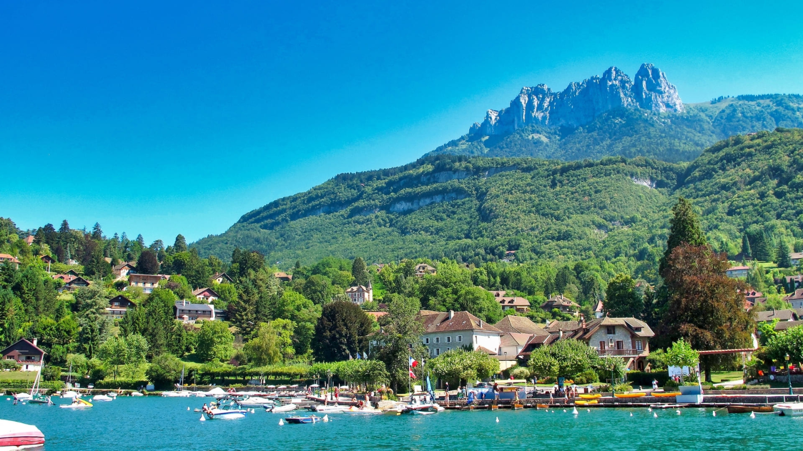
Climb to the foot of the Tournette, via the Col des Nantets (1426m); discovered from the Lake Annecy pass, which spreads out like a jewel in the heart of the mountains. Descent to the foot of the teeth of Lanfon by the trail around the lake. You will reach Talloires, the most beautiful site, and a village around the lake. 5h30, + 600m, -950m.
From there, you will take the "omnibus" (boat that circles the lake to reach Annecy), passing through Doussard and Duingt.
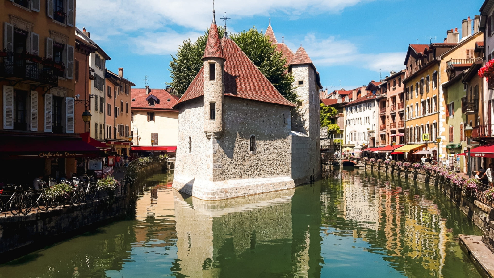
Night in a 4 * hotel in Annecy overnight and breakfast. We recommend that you dine in one of the many restaurants in "old Annecy", a splendid district of Annecy, by the lake.
D7 • Annecy - Col de Bluffy - Annecy
You can leave after breakfast. However, we offer you a beautiful hike above Annecy:
To reach the Col de Bluffy (7km) use the regular bus that goes towards Thones, the same one that you may have used to go on the 1st day to St Jean de Sixt.
From there you will go up towards the crest of Mont Barret (1065m) which you will cross to reach the smugglers pass (1054m), then on Mont Baron, a remarkable point of view (1254m). The path follows the ridge to Mont Veyrier (1291m at the highest point and then descends to the edge of Lake Annecy.
5h, + 735m, -920m.
Additional info
- Spoken languages :GermanEnglishSpanishFrenchItalian
Prices
Child: from 740 €.

