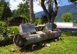

Description
Start point: Lac Bleu Morillon village
Duration: 2 hrs return
Difference in altitude: 0m
Altitude at start: 700m
Altitude at finish: 700m
Map reference: Walking map to be requested from the Tourist Office
Pushchair access: Yes, with "all terrain" pushchair
Type of terrain: Earth and stones
Level of the walk:
- Stroll (0 to 300m difference in altitude/- than 2 hrs walking)
Particular difficulty: None
You can follow the river over a distance of 12km to Samoens and Sixt Fer à Cheval over completely flat terrain.
Another 10km further over more craggy terrain towards Fer à Cheval.
You can also follow the Giffre towards Taninges for several km.
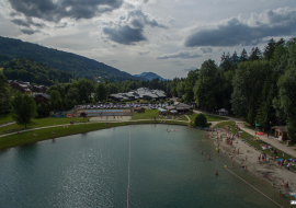
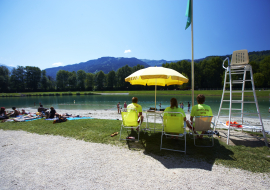
Pleasant in very hot weather as there are cool areas due to being near the river. You will see rafting and paragliding. Passes near to the leisure centres at Morillon and Samoens.
Panorama of the Giffre valley.
Opening
From 15/04 to 30/11: open every day (Free access, accessible depending on snow cover).
Additional info
- Services :Pets welcome